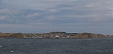
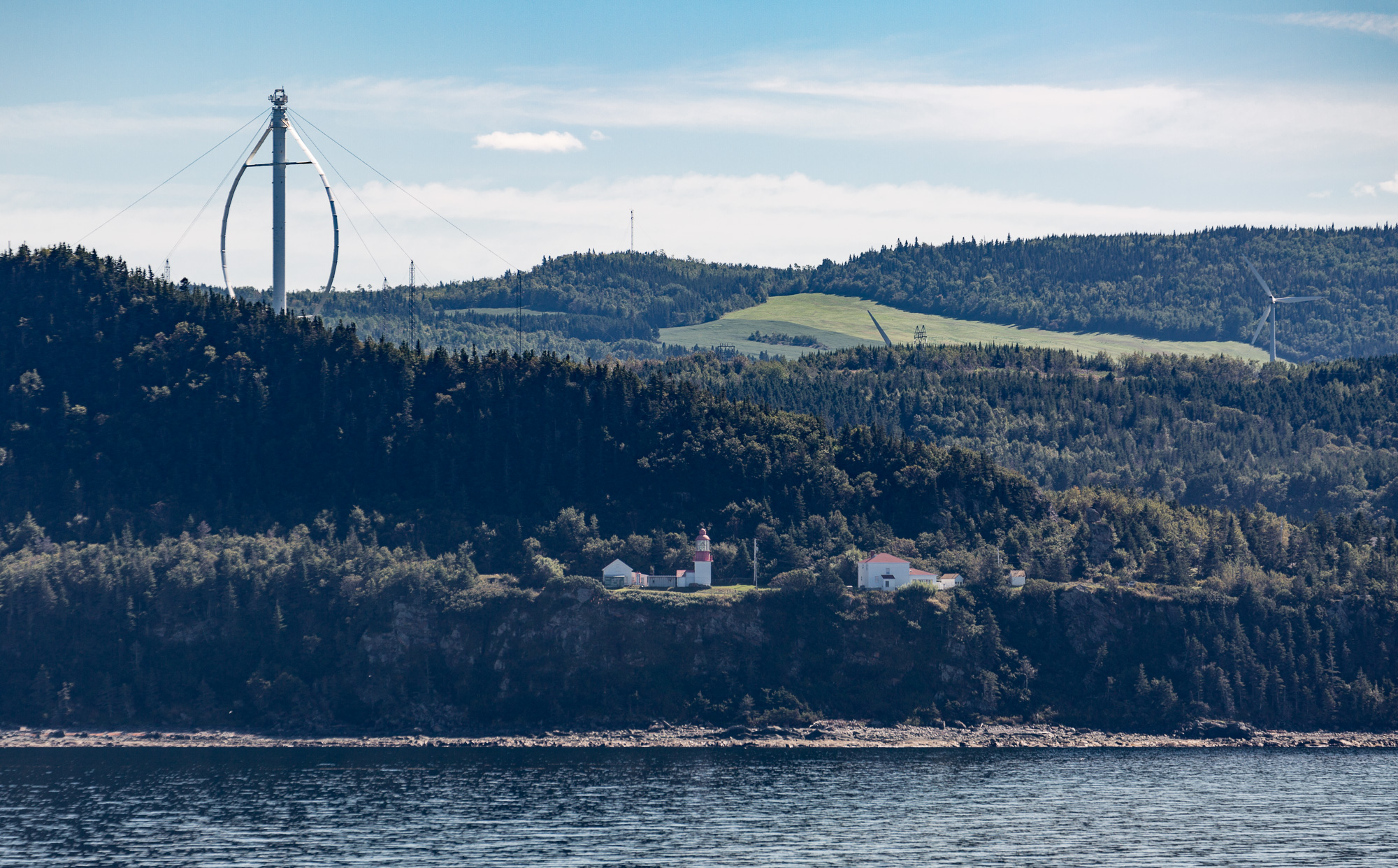
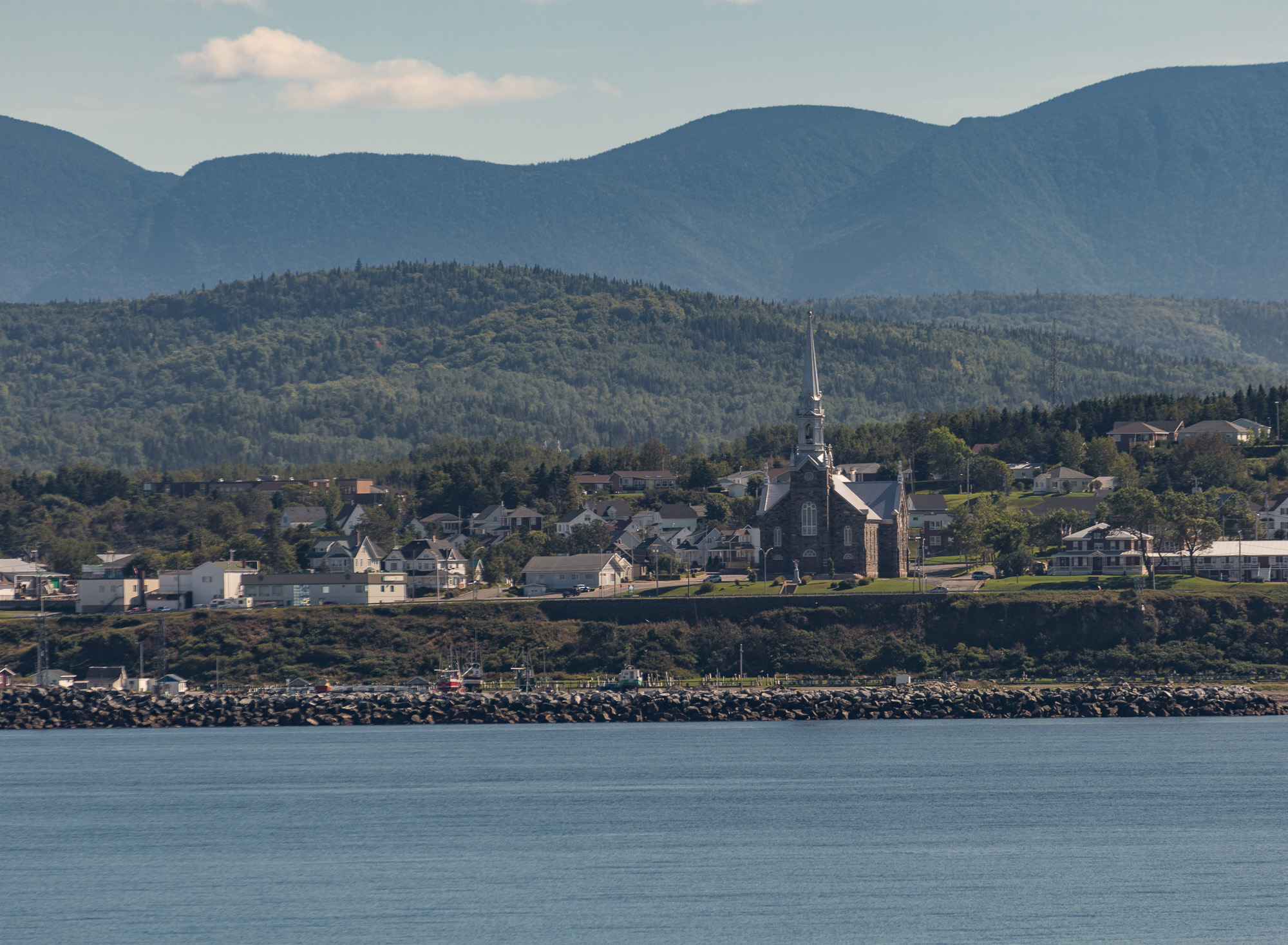
We passed Tadoussac in the night and woke as we got close to Bic, where we had enjoyed camping years ago. Our route went close to the south shore and by now the river was so wide the north shore was barely visible. We had momentary glinpses of minke whales - never much visible, never for long. The villages on the shore were now fewer and the land behind got higher as we approached the Chic-Chocs. There was the largest wind farm we've ever seen.

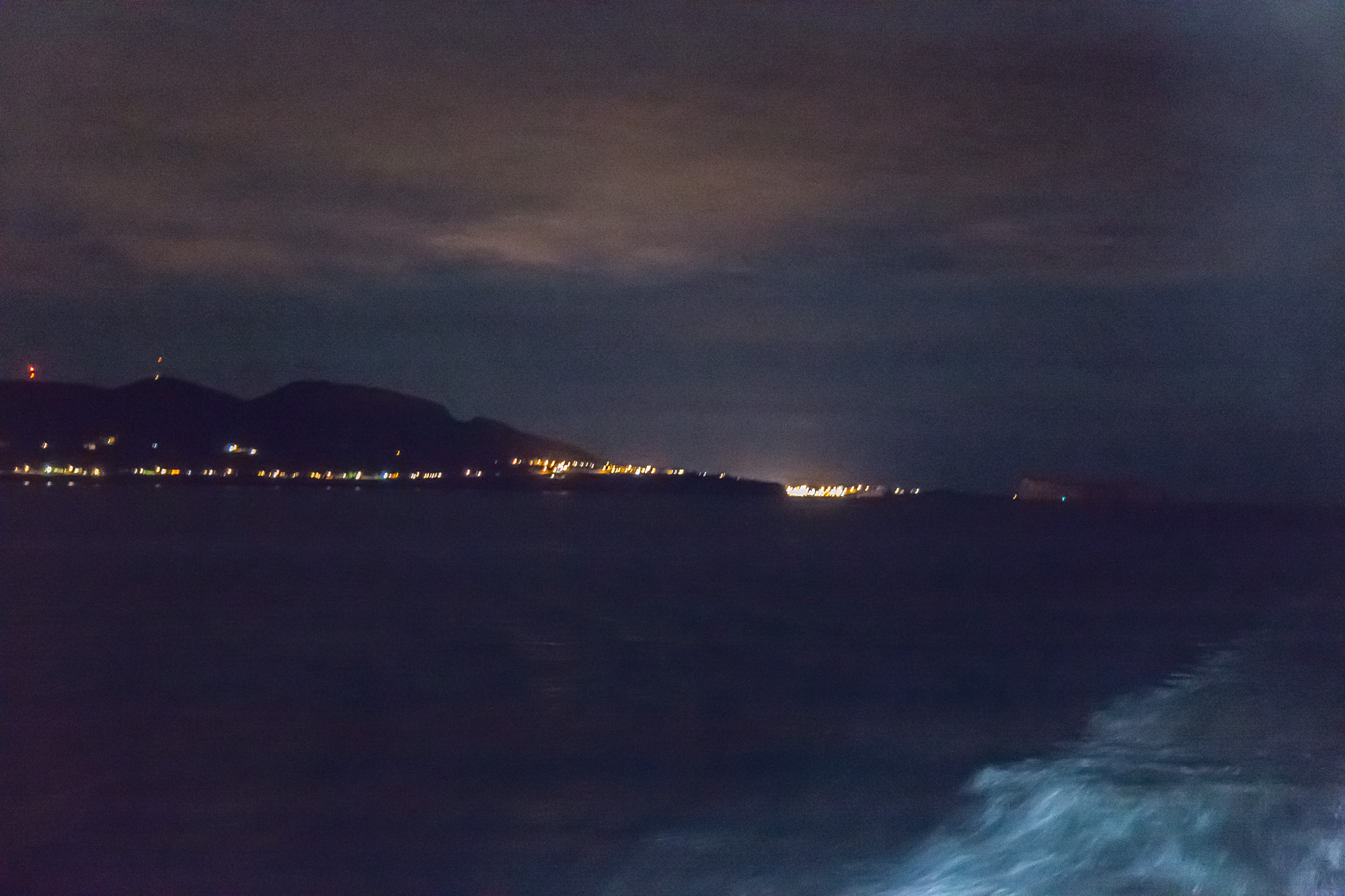
In another disappointment of timing it was fully dark by the time we passed Percé. We could only guess where the rock was as we watched blackness transit across the lights on the shore. The photo here was taken by guess work; the camera was able to see what our eyes could not. We arrived at the port at Chandler around 10pm, and watched as they docked, and loaded on a few more passengers and cars.

5D3 2866  Taken at Latitude/Longitude:48.453176/-68.887954.  km       (Map link) 5D3 2868  Taken at Latitude/Longitude:49.063247/-66.897096.  km       (Map link) 5D3 2871  Taken at Latitude/Longitude:49.105715/-66.756760.  km       (Map link) 5D3 2876  Taken at Latitude/Longitude:49.108703/-66.746480.  km       (Map link) 5D3 2877  Taken at Latitude/Longitude:49.112375/-66.733443.  km       (Map link)
5D3 2879  Taken at Latitude/Longitude:49.112730/-66.732146.  km       (Map link) 5D3 2882  Taken at Latitude/Longitude:49.120824/-66.703841.  km       (Map link) 5D3 2886  Taken at Latitude/Longitude:49.151658/-66.547194.  km       (Map link) 5D3 2891  Taken at Latitude/Longitude:49.171063/-66.451561.  km       (Map link) 5D3 2897  Taken at Latitude/Longitude:49.256583/-65.163570.  km       (Map link)
5D3 2905  Taken at Latitude/Longitude:49.149843/-64.631284.  km       (Map link) 5D3 2920  Taken at Latitude/Longitude:48.447933/-64.225370.  km       (Map link) 5D3 2926  Taken at Latitude/Longitude:48.341857/-64.657780.  km       (Map link) 5D3 2928  Taken at Latitude/Longitude:48.342046/-64.657264.  km       (Map link)